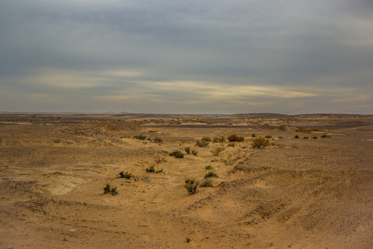
Helping archaeologists survey.
Arkhia is a robotised ground-penetrating radar survey project, designed to characterise suspected archaeological sites, complementing large-scale detection programmes such as LiDAR HD.
Our aim: to turn anomalies spotted remotely into rigorous field surveys, non-destructively, through robotics and artificial intelligence.
A high-density map of the subsoil
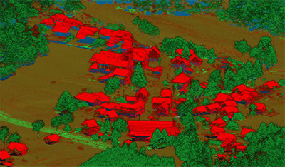
The IGN’s LiDAR HD programme has mapped the entire surface of the territory in three dimensions, point by point.
Arkhia carries that ambition to what lies beneath: high-density ground-penetrating radar that reveals buried structures — foundations, ditches, ancient paths, remains.
A systematic survey
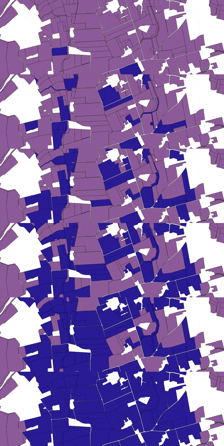
Arkhia follows in the lineage of major European systematic surveys, such as the German SESAM project.
The ambition: to build, parcel after parcel, a shared archaeological memory — methodical, non-destructive and entirely lawful.
Serving archaeologists, and beyond.
Arkhia is first a tool for archaeology: characterising a suspected site before any intervention.
But the same GPR data can be read in several ways: soil agronomy, civil engineering and networks, hydrogeology, environment. One survey, several readings: an open resource, from heritage institutions to research laboratories.
- Archaeology — 30 %
- Agronomy & soils — 25 %
- Civil engineering & networks — 20 %
- Hydrogeology — 15 %
- Environment & risks — 10 %
Fields of application of Arkhia’s ground-penetrating radar data (indicative breakdown).
A global challenge, an urgent need in the Near East
The challenge does not stop at France’s borders. Wherever remote detection advances, ground characterisation lacks hands. In the Near East and North Africa, the EAMENA (Oxford) database already records nearly 370,000 heritage places, many threatened faster than they can be studied. Our future missions target these territories still to be surveyed, in partnership with leading institutions such as the Ifpo (French Institute for the Near East).